Project
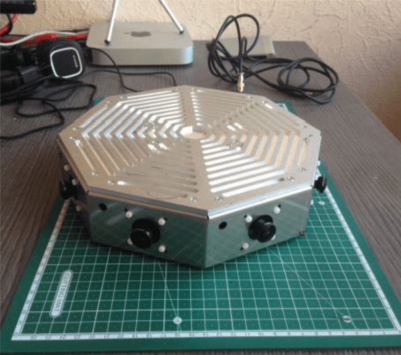
Drone-Measurement Ground Station
Short Description:
Drone-Measurement Ground Station makes the inspection of the aircraft accurate and fast, regardless of the color of the aircraft.
Unique feature: Achieved accuracy of positioning the drone in the air has an error of ±1 cm at a distance of up to 150 m.
How It Works:
- The station with cameras is installed in the specified location
- The cameras cover an area from 0 to 360 degrees without any distortion
- Information is read and transmitted with high accuracy for further processing
Technologies used
- Machine Vision
- Optical Navigation
- Onboard Decision Making
- Indoor Navigation
