LiDAR, which stands for light identification, detection, and ranging, is a remote sensing technology gradually taking over various industries. Its ability to scan the environment and create three-dimensional models has been harnessed in science, agriculture, archaeology, transport, law enforcement, and many other areas. The sophistication and broad applicability of this invention make it a desirable technology for various businesses. In this article, we dwell more on LiDAR, its functioning, types, and applications. Exhaustive but concise information about this advanced technology presented here will help you decide whether you need it for your business.
LiDAR is a remote sensing method that allows collecting data about the earth’s surface and seabed and measuring the location of objects. Unlike radar that uses radio waves or microwaves, it uses light.
The history of this invention goes back to the 1950s, when Middleton and Spilhaus introduced this concept. However, the first technology of this kind was nothing like the one used in modern devices and machines. Some scholars maintain that the true history of LiDAR began at the beginning of the 1960s when scientists designed the first Q-switched laser. Later on, the development of an optical radar helped improve the technology. It became clear that it can be successfully used for performing ranging measurements.
NASA was among the first adopters of LiDAR, who recognized the immense practical value of this technology. For example, the first Apollo missions used this technological invention to make complex measurements. Scientists from non-astronomy areas also recognized the value of this technology and gradually adopted it for their purposes. For instance, LiDAR significantly improved topographic mapping and forest and ocean studies. With the introduction of the Global Positioning System (GPS), LiDAR became even more widely used.
The LiDAR method was perfected for decades, becoming more accurate and commercially available. By the mid-1990s, LiDAR sensors were capable of collecting dense data sets for practical use. The introduction of a 2D LiDAR collecting X and Y dimensional data was followed by the launch of more advanced 3D devices capable of making more complex measurements. It is expected that this technology will develop further, offering higher resolution, faster scanning, smaller-sized devices, and lower prices.
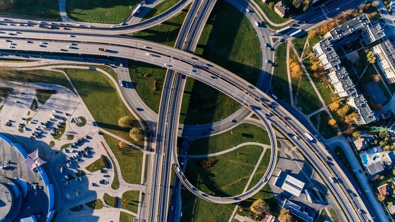
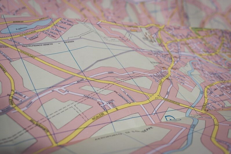
What is LiDAR technology used for? Nowadays, the scope is its application is wide. LiDARs are commonly used in the construction of buildings, bridges, and roads as it performs accurate ground elevation measurements. Collected data can help map entire cities, allowing decision-makers to locate structures or areas of interest in unprecedented detail. Maps specifying the exact location of buildings, road networks, bridges, vegetation, and other infrastructural objects can greatly inform urban planning.
Oceanography also benefits greatly from this technological invention, as it helps examine large water areas and locate objects (e.g., biomass in the ocean surface). In agriculture, this technology helps calculate yield rates and perform other essential calculations increasing productivity. Archeologists, in turn, use it to research poorly accessible areas (e.g., tropical forests). Mass-market and luxury automotive applications and vehicles also depend heavily on LiDAR.
You probably wonder, “What is the basic principle of LiDAR technology?” Read on to find out how this technology work and what makes it so valuable.
How Does the Technology Work?
LiDAR is an active system. It means that it generates energy to measure objects. Its fast-firing laser emits light. This light reaches the ground or water and reflects off the surface. This reflected light then reaches the device, where the sensor records it. It calculates the time it took for each pulse of light to bounce off and go back, which helps to determine the exact distance between the device and the ground. Thus, this sensing method can help create 2D or 3D images of the environment.
Modern LiDAR devices emit light very quickly. There can be millions of pulses each second, which helps create very accurate and detailed images. Therefore, LiDAR is extremely valuable for large-scale research that requires high-speed data collection. For example, manual measurement of vegetation in tundra would be practically impossible without LiDAR due to the large territory of this natural zone.
LiDAR classification makes it possible to differentiate between the categories of objects reflecting the light. The system can differentiate between ground, water, canopy, vegetation, buildings, road surfaces, etc.
The given technology is not limited to airborne approaches. A ground based LiDAR is the type of the device more suitable for close-range, high-accuracy applications. Widely used in forestry, these devices are characterized by extreme accuracy. LiDARs located on the ground can rotate and scan vertically, but their range is narrower than airborne sensors.
Let’s cover some of the most interesting questions about the functioning of lidar technologies and systems:
- Can LiDAR penetrate water? Yes, it can. The most advanced sensors using greenlight can penetrate water if up to hundreds of meters. It makes the invention invaluable for ocean research, as it reaches the depths that people cannot always access and collects much more data than scientists can gather.
- Does LiDAR work in rain? The problem with LiDARs is that their performance worsens in the rain. When its light intersects with raindrops at a short distance, they can reflect it to the device. As a result, the sensor detects raindrops as objects, which compromises the quality of collected data. So, scientists have something to work on as they improve the LiDAR sensing.
- Does LiDAR work at night? Yes, since the device is itself a source of light. The fact that LiDAR works day and night significantly expands its application in different industries (e.g., the automobile industry).
Types of LiDAR Systems
LiDAR systems are diverse and serve various purposes. They can be classified based on the scanning technology and functionality. Scanning methods are of the three main types:
- Standard spindle-type that gives a full view of the setting
- Solid-state type that scans a limited part of the natural or urban environment
- Flash type (mechanical) that covers a large field of view
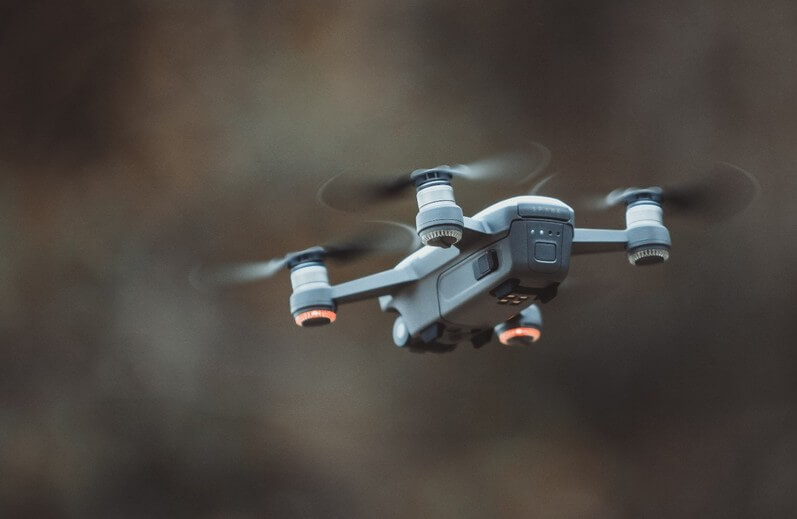
Functionality classification is more complex and requires more detailed discussion. Based on this characteristic, one may distinguish airborne LiDARs. As the name suggests, these are located on a drone or helicopter and used to scan the environment from above.
Airborne systems can be further divided into topographic and bathymetric. The former is intended to examine the earth’s surface and is used in forestry, ecology, geomorphology, urban planning, infrastructure mapping, etc. The latter is more suitable for examining water areas. Unlike topographic LiDARs, these sensors can also emit green light that penetrates the water. Bathymetric devices help determine the depth of water bodies, which is crucial for engineering and marine sciences.
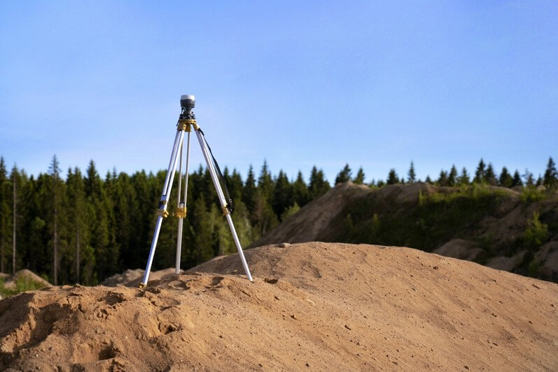
Terrestrial LiDARs, in turn, are installed on the ground to gather topological data. Equipped with short-, medium-, or long-range scanners, these devices are known for high precision and detail. Terrestrial sensors can be placed on tripods or moved around. They can also be installed in self-driving vehicles to perform a continuous environmental assessment.
Thus, terrestrial LiDARs can be further divided into static and mobile. It is essential to understand that mobile LiDARs can be portable. However, the instrument’s weight can reach about 20 kg, including the battery, which makes it difficult to move it around. Hopefully, as this remote sensing method develops, lighter devices will be introduced in the future. In fact, many advanced devices can be conveniently used in cars, trains, and boats.
As for the static LiDAR devices, these can be used to obtain the data at one point. A LiDAR is placed on a static object and sends laser pulses to the surrounding area. In this way, it can track the changes in the environment over time. Static devices are widely applied in archeology, engineering, mining, and surveying.
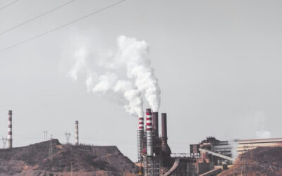
LiDARs can also be divided into categories based on the application. For example, differential absorption devices collect data about gas concentrations in the atmosphere. They can measure ozone and pollution levels, which is essential for climatology and environmental sciences. Next, wind LiDARs can measure wind direction and speed. They can be successfully used onshore and offshore and prove particularly beneficial in wind turbines. Raman devices belong to the terrestrial type and are used to measure water vapor in the air. Finally, there are spaceborne LiDARs used by space agencies such as NASA to conduct long-distance measurements.
Benefits of Using LiDAR
LiDAR is not a new technology, but it continues to develop, offering more sophisticated solutions for businesses and science. Devices using this optical technology have multiple advantages worth mentioning. To begin with, they offer a high degree of accuracy. LiDAR-based devices can create highly detailed 2D and 3D maps of the environment with minimal human involvement. Besides, they detect even small objects such as bushes or people. LiDAR accuracy is one of the reasons why so many researchers in different sciences readily use remote sensing data for their studies. How accurate is LiDAR? Well, it depends on the type and cost of the device. Typically, it delivers a mapping accuracy of up to one centimeter.
Next, this technology is characterized by speed. It would take many days or rather years to create maps of similar accuracy using traditional mapping techniques. Given that the environment changes quickly, especially in cities, one risks failing to keep up with these changes. LiDARs, however, can collect and analyze the data quickly, which helps keep track of the environmental changes in almost real-time.
Furthermore, this remote sensing method offers outstanding accessibility. This technology can collect data in the most distant and inaccessible places of the earth, such as high mountains, tropical forests, oceans, etc. The best thing about it is that it’s universal. For instance, a drone with a LiDAR sensor can work equally well in the forest and the city.
In addition, LiDARs do not require human presence. The equipment collects and analyzes the data independently, so researchers can focus on tasks requiring human involvement.
Remote sensing devices are also relatively inexpensive. Low cost is one of the most decisive advantages of LiDAR that encourage researchers and decision-makers to choose it over other mapping technologies that require more human and financial resources. LiDARs have also become increasingly popular because their work does not depend on the time of day. It is also quite efficient in different weather conditions (e.g., strong wind, low temperatures, etc.). Finally, LiDARs can be combined with other tech, which allows gathering even more detailed data about the environment.
Like any technology, this detection system has its flaws. Disadvantages of LiDAR relate to technical problems, many of which may be addressed in the future as more advanced devices enter the market. For example, remote sensing devices are ineffective in certain weather conditions, such as fog, snow, or rain. Water particles in the air distort the data collected by the sensor, making LiDAR 3d mapping useless.
LiDAR may cost less than other mapping technology, but it is still quite expensive. Its use may be cost-effective in large projects where other methods of data collection are inaccessible. However, LiDARs are still too expensive for daily commercial use.
Next, LiDARs require experienced people to operate. One should possess extensive tech knowledge to be able to use LiDARs properly. Besides, it takes in-depth knowledge and experience to analyze the big data set collected by these sensors. LiDAR visualization is not a piece of cake, so only people with data analysis skills can take advantage of this technology.
LiDAR for Vehicles and Mobility Apps
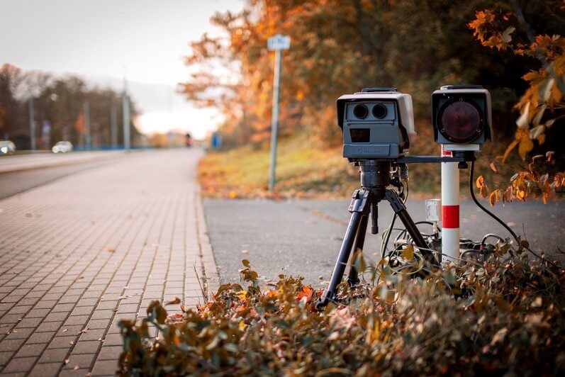
Optical technology has gained attention in the automotive industry. LiDAR software installed in self-driving cars can measure the distance to objects at high speed, thus allowing the vehicles to drive safely and react quickly. Manually driven cars with driver assistance systems also take advantage of LiDAR technology. The fact that large companies such as Bosch have been involved in developing new LiDAR systems for cars suggests that they will become cheaper and more accessible.

LiDAR applications are not limited to expensive vehicles. Nowadays, even smartphones, such as the new iPhone 12 Pro, have LiDAR-based sensors. Installed in smartphones, it allows for mobile LiDAR scanning of the environment. As a result, tech companies have developed many LiDAR apps for smartphones, which utilize this technology for daily tasks. The following apps of this kind are worth mentioning:
- Measure helps determine the dimensions of an object and its height.
- Canvas allows creating 3D images of the environment
- Polycam – scans the environment (e.g., an apartment) and helps edit and share the images
- 3D Scanner App – creates 3D images of the natural objects (e.g., furniture)
Thus, the technology can serve for both greater safety and entertainment. Embedded into large and small devices, it helps interact with the environment on a new level. If you want to design a useful and functional LiDAR app, Aduk’s team can help you with this task. It keeps up with the trends that know how to utilize LiDAR’s advantages to the maximum.
H2: LiDAR, Sonar, Radar and Others – The Difference
If you plan to use LiDAR technology in your business, you must understand how it differs from similar sensing tech. We’ve already mentioned the difference between radar and lidar above. If you type “sonar vs. radar vs. lidar” into the search engine, you will learn that these technologies differ considerably. They may sound similar, which is confusing, but they emit different signals. LiDAR uses light pulses, radar emits radio waves, while sonar utilizes sound. However, all three technologies create maps based on the reflected signals. If you are unsure which technology would suit your product, the Aduk team can help you choose the most suitable one and not be confused by the different “lidar vs. radar” applications.
Everything is pretty simple as well when it comes to the “lidar vs. laser scanning” question. Laser covers a larger area than the LiDAR, with a specific target and a more focused beam. Finally, there is a distinction between LiDAR and photogrammetry technology. The photogrammetry vs. lidar comparison reveals that the former uses photos of the environment to create 3D maps. The latter, in turn, generates point cloud-like images. In other words, the outcomes of scanning the environment are very different.
Conclusion
Experts in the tech sphere all trumpet the same message – LiDAR technology will become more precise and accessible. It means that more and more companies will adjust it to their needs and deliver apps with sophisticated sensors. If you want to keep up with the trend and develop LiDAR-based apps, Aduk can help you achieve your business goals. LiDAR has immense business potential, so make sure you ride that wave. With Aduk experts guiding you through the whole software development process, you have a high chance to succeed.